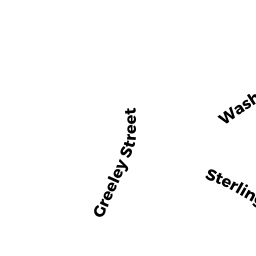
57 WASHINGTON ST
Owner Information
WHITNEY KERRI A
57 WASHINGTON ST
CLINTON, MA 01510


Property Details
57 WASHINGTON ST is classified as a Single Family Residential (Conventional).
The primary structure on this property was built in 1880. There are 3,542ft2 of built area within this property. There is 1,859ft2 of residential/living space within this property. This property is listed as having 8 rooms.
57 WASHINGTON ST is valued at $308,100. The land is valued at $71,300 and the structures are valued at $236,800.
This property is in Zone IND. Confirm with local Zoning Board authorities to ensure there are no overlays or other easements on this property.
The most recent deed for 57 WASHINGTON ST is recorded at the local registrar in Book 50153, Page 0124. 57 WASHINGTON ST was last sold on Wednesday, December 19, 2012 for $1.
Assessment data from fiscal year 2022.
Flood Data
According to the FEMA National Flood Hazard Layer, this property does not appear to be in a flood zone. It may also be in an area not yet reviewed. Nonetheless, confirm this information prior to taking any action.
To view the flood hazards around this property, create a FEMA "Firmette" Map of the area around 57 WASHINGTON ST.
Broadband Internet Providers
| Provider | Type | Bandwidth (mbps) | |
|---|---|---|---|
| GCI Communication Corp. | Satellite | 0 | 0 |
| Viasat Inc | Satellite | 100 | 3 |
| T-Mobile | Fixed Wireless | 25 | 3 |
| Verizon New England Inc. | DSL | 15 | 1 |
| VSAT Systems, LLC. | Satellite | 2 | 1 |
| Comcast | Cable | 1000 | 35 |
| HughesNet | Satellite | 25 | 3 |
Broadband service provider data from December 2020.
Adjacent Properties
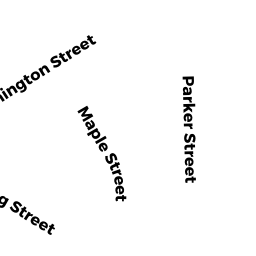
- 32 MAPLE ST
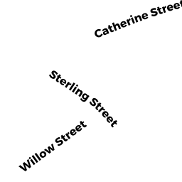
Single Family Residential owned by MCNAMARA CLAIRE B - 95 STERLING ST
Three-Family Residential owned by SAVINO ANTONIETTA - 103 STERLING ST
Two-Family Residential owned by PARKER PAMELA S - 39 - 43 WASHINGTON ST
Three-Family Residential owned by SARGENT, KATHLEEN C - 81 WASHINGTON ST
Two-Family Residential owned by AGUILAR, CATARINO - 34 MAPLE ST
Two-Family Residential owned by LINK, MELISSA M